As most people know we’ve had a lot of rain this year. It’s rained every day for over a month. That’s never been recorded before.
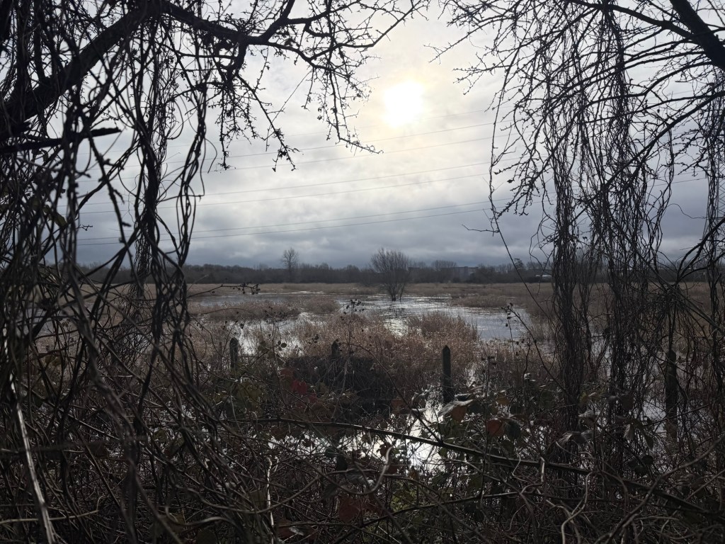
The water level in the marsh rose slowly in December and then kept rising. The peak it reached this year is about the same as it was last year. So far
The difference is that it has just kept rising. Last year it rose and fell five times and we thought that was pretty unusual. This year it’s hardly dropped at all.
We are very much at home.
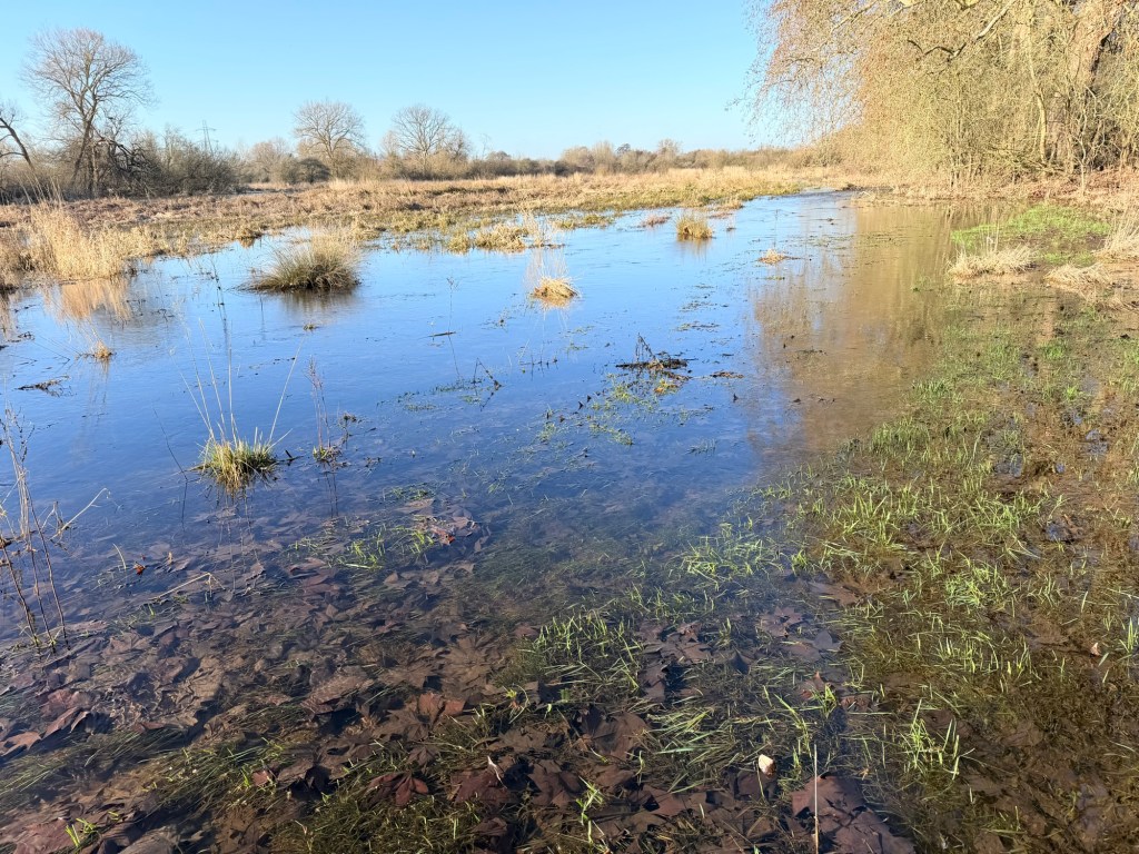
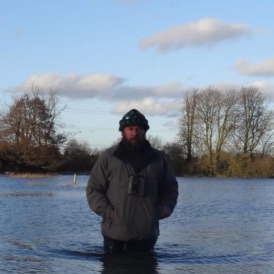
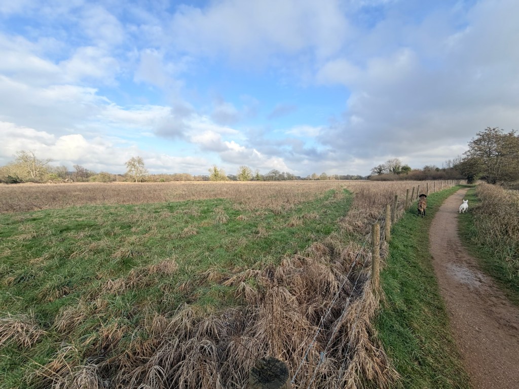
The marsh isn’t full though. Far from it. The whole area is lower lying than the adjacent rivers, the Kennet and its offshoot the Holy brook. Water is pouring out of them and into the meadows. It shows the height difference. Most of the land to the west of the marsh is wet but only with shallow fast flowing water.
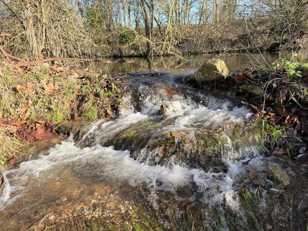
The potential to store much more floodwater exists but isn’t being used. In the photo above there is maybe 3 feet height difference from the brook to the meadow.
The water then flows fast and shallow across the fields heading for town.
It’s no big deal right now. Next week it might be. A few big downpours and the river might rise, and instead of lying in the fields it could end up in people’s homes.
The marsh could help prevent that. Ever since climate change was first discussed there were two strands; let’s try and stop it, and how are we going to cope if we can’t.
I’ve always been in the first camp until recently. It’s now abundantly clear that we’re going to need to learn to live with it. It looks like all efforts to halt or even slow the rate of change have been in vain.
The marsh has a new role to play, keeping much more water out of town, and releasing it much more slowly back in to the river.
If there was a baffle across the marsh that was just a few inches high it could hold back water. The higher it is the more water it could hold back. There are two very good examples locally
Circuit lane
Just a bit further up the valley, just west of Coley are the Southcote meadows and there’s a track right across them. It holds back a lot of water and releases it slowly.
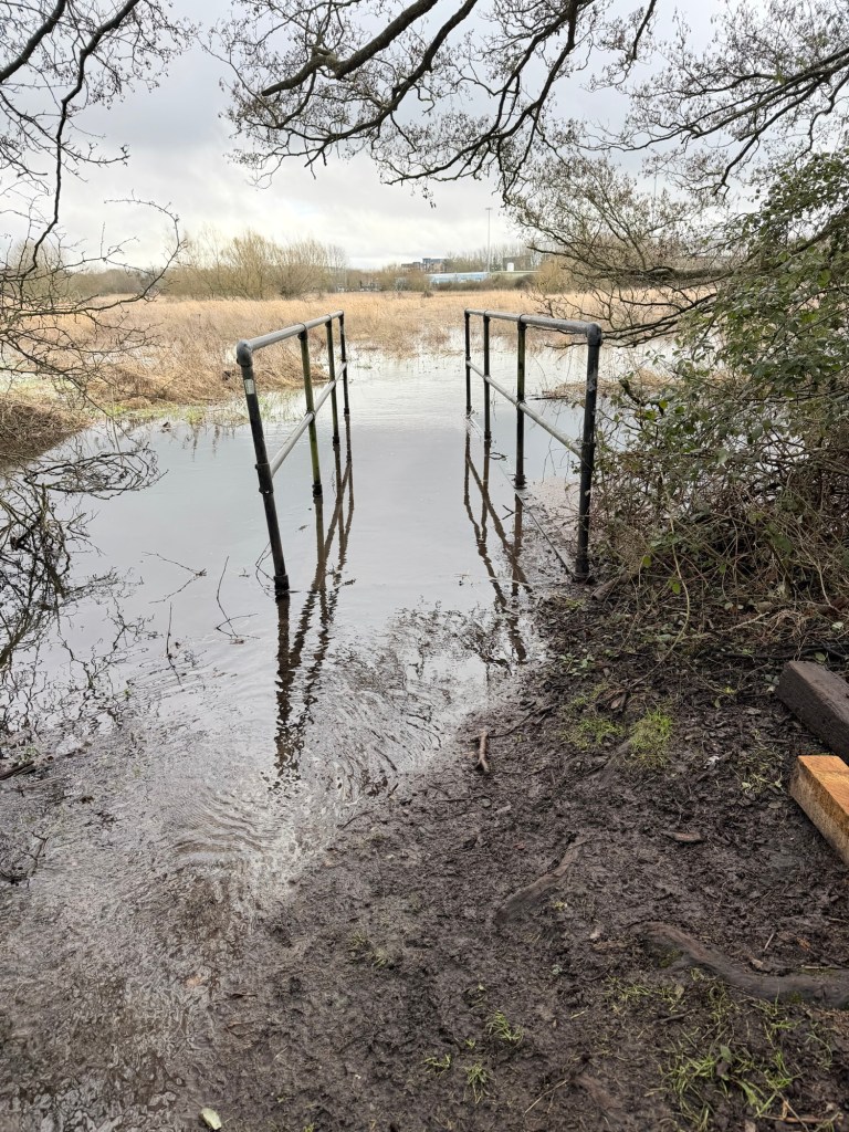
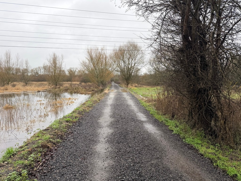
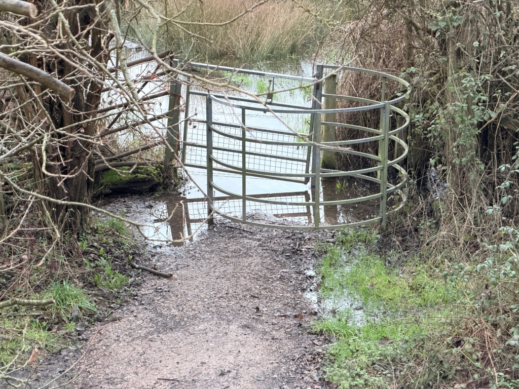
Rose Kiln lane does the same at the eastern end of the Coley meadows. The pipes that flow under the road slow the flow and thus our marsh floods, right now it’s too deep to walk across even with waders.
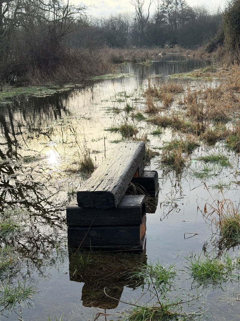
In between is Footpath 6.
The council has just raised a little bit of it with stone.
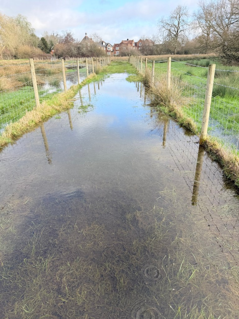
But bizarrely only a little bit.
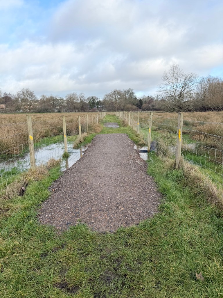
If they raised all of it, it would be a path of real value. People could walk from Coley to Green Park and South Reading. Lots of people live in Coley. And lots of people work in South Reading. They all have to go around the marsh. And that’s a long walk. Lots of people drive. Even in summer the path is muddy, except for the short bits the council has just surfaced.
So to help reduce the need to drive a good path across the marsh would enable more people to walk. There’s a football stadium in South Reading. When the path was in good condition and didn’t flood so often there would be a procession of folks from Reading dressed in blue and white as they walked to the footie. Not now.
To the west of the marsh, even though they are low lying these fields are almost bone dry. Simply building a decent path from Coley to Fobney would slow the flow and hold back water. A bank built across the marsh slightly further west would slow even more water. And nobody would be affected. Nobody lives there. Everyone lives higher than the rivers. All of the marsh is lower.
It seems to me that there’s a couple of key outcomes;
Protecting Reading from flooding.
Providing a direct route between Coley and South Reading. Even for mobility scooters!
And holding back water to make a massive and valuable wetland, many times bigger and richer than the one we have now.
Not to mention cleaning the water, locking up carbon, allowing wildlife to return and showcasing Reading as a leader in tackling the climate and biodiversity crisis.
It’s a shame the “authorities” are completely uninterested. It’s up to Marshians and we’re on the case.
